Stronger cyclones, higher storm surges and an early fire season are heading to Australia in the coming months, and Australians are being warned to prepare now.
Cyclones are likely to be stronger this season due to warmer ocean temperatures, the Bureau of Meteorology has warned.
The long-range forecast between now and December projects above-average rainfall for most of the western half of the country, far north Queensland and the area around the border with South Australia, Queensland and New South Wales.
While the rest of the country is forecast to receive an average amount of rain over the next two months, the summer is expected to be hotter than usual.
The chance of warmer-than-average days and nights is 60 to 80 percent, the bureau forecasts.
There is a “high probability” of “unusually” hot days and nights across most of the country.
“Fire authorities are warning of an increased risk of fire in the spring months in parts of Queensland, the Northern Territory, western Victoria and southeastern South Australia,” said Andrea Peace, director of community information for the national office.
Parts of South Australia, Victoria and Tasmania are also likely to be in “fire season” earlier.
Hot conditions amplify the danger posed by cyclones. The historical average of eight cyclones is forecast in our region and four making landfall, but the severity is likely to be worse.
Australians will have a warmer summer with average rainfall, although the heat threatens to cause catastrophic weather events.
“Tropical cyclone activity varies from year to year, but an average of four tropical cyclones cross the Australian coast each year,” Ms Pearce said.
Cyclones cause storm surges that hit the coasts.
“Based solely on historical patterns, a close to average number of tropical cyclones could be expected in the Australian region this season, with a higher proportion likely to be more severe.”
‘Last year we had eight tropical cyclones in the waters off northern Australia. Four crossed our coast bringing damaging winds and heavy rain causing flooding.’
Sydney
Monday: Increasing rains. Min. 13°C Max. 21°C
Tuesday: Shower or two. Min. 15°C Max. 21°C
Wednesday: Shower or two. Min. 15°C Max. 23°C
Thursday. Partly cloudy. Minimum 16°C Maximum 25°C
Melbourne
Monday: Shower or two. Minimum 14°C Maximum 20°C
Tuesday: Possible shower. Min. 11°C Max. 24°C
Wednesday: Shower or two. Minimum 14°C Maximum 25°C
Thursday: Increasing rains. Minimum 15°C Maximum 24°C

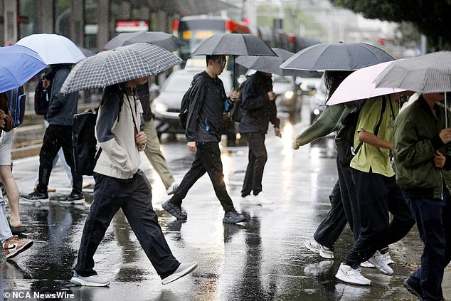
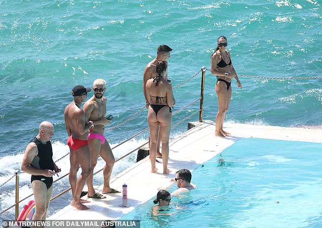
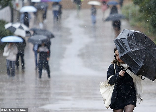
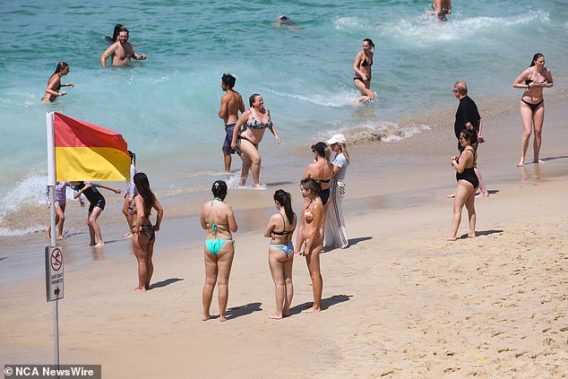
Australians will have a warmer than normal summer, but this week will bring rain across the country.

Experts say there is a “high probability” of “unusually” hot days and nights this summer
brisbane
Monday: Shower or two. Minimum 16°C Maximum 25°C
Tuesday: Possible shower. Minimum 16°C Maximum 27°C
Wednesday: Shower or two. Min. 17°C Max. 27°C
Thursday: Partly cloudy. Minimum 17°C Maximum 31°C
Adelaide
Monday: Partly cloudy. Minimum 14°C Maximum 27°C
Tuesday: Shower or two. Min. 18°C Max. 29°C
Wednesday: Mostly sunny. Minimum 15°C Maximum 27°C
Thursday: Mostly sunny. Minimum 15°C Maximum 29°C
Perth
Monday: Shower or two. Min. 15°C Max. 23°C
Tuesday: Morning shower or two. Min. 13°C Max. 22°C
Wednesday: Showers. Min. 11°C Max. 22°C
Thursday: Shower or two. Min. 13°C Max. 22°C

All capital cities have been warned to prepare for rain until Thursday and should be on alert for cyclones and fires this summer.
Darwin
Monday: Possible shower. Minimum 25°C Maximum 34°C
Tuesday: Shower or two. Minimum 26°C Maximum 34°C
Wednesday: Shower or two. Minimum 25°C Maximum 33°C
Thursday: Shower or two. Minimum 25°C Maximum 24°C
hobart
Monday: Possible early rain. Min. 8°C Max. 15°C
Tuesday: Partly cloudy. Min. 5C Max. 18C
Wednesday: Possible shower. Min. 8°C Max. 21°C
Thursday: Possible shower. Minimum 9°C Maximum 19°C

