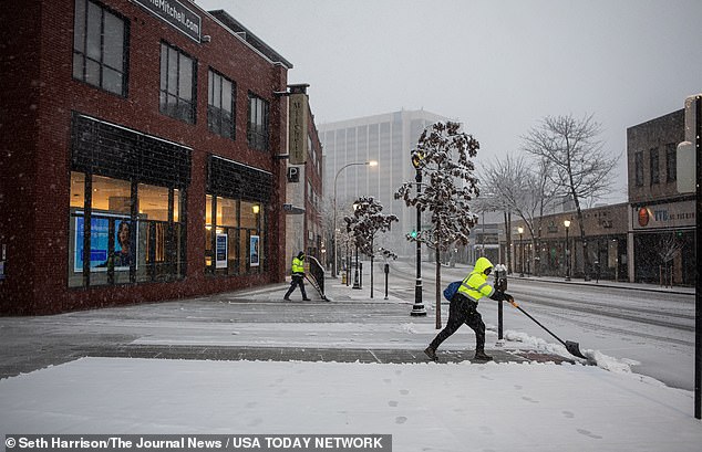
Millions of people across the Northeast woke up to the onset of a winter snowstorm that could bring the biggest snowfall in more than two years, as early accumulations wreaked havoc on the morning commute.
Predicted snowfall totals have decreased, and the National Weather Service predicts the Big Apple could get five to eight inches of snow.
The strong nor’easter is expected to bring heavy snow, high winds and coastal flooding throughout the northern Mid-Atlantic and southern New England.
“Winter will return with a vengeance as the storm moves through with a blast of colder air that will set the stage for more typical conditions for mid to late February,” he said. AccuWeather Senior Meteorologist Matt Rinde.
According to FlightAware.com, at least 1,130 flights in, into or out of the United States have been canceled today.
New York’s LaGuardia Airport has been deeply affected by weather-related delays and cancellations. At least 224 flights from LaGuardia were canceled and 188 flights to the airport were cancelled.
Millions of people across the Northeast woke up to the start of a winter snowstorm that could bring the biggest snowfall in more than two years.
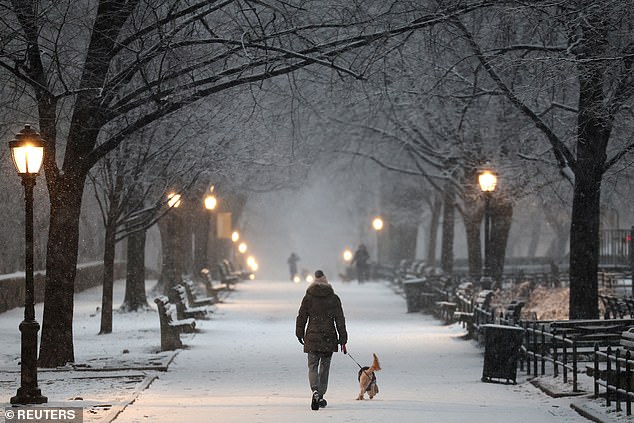
The nation’s largest school system in New York City said it would shift to remote learning and close its buildings on Tuesday due to the impending storm.
The nation’s largest school system in New York City said it would shift to remote learning and close its buildings on Tuesday due to the impending storm.
New York City Public Schools began their day experiencing technical issues that prevented students from accessing their remote learning.
“We are currently experiencing issues with services that require IBM authentication to log in,” the school system said on X at 8:22 am.
‘We are actively working with IBM to resolve this. We will provide an update as soon as possible.”
Furious parents have taken to X, formerly known as Twitter, expressing their desire for the school system to give their children a snow day instead of a remote learning day.
‘The New York City Department of Education is doing this stupid thing today that instead of just giving kids a snow day like every generation before them, they are making everyone have online school through Google Classroom . Around 8:30 this morning, the whole system failed,” said father Ethan Campbell.
Peter Beadle said, ‘Give up and declare a snow day.’ You shouldn’t worry about switching to remote learning unless it’s a particularly snowy winter and we’ve used up the 3 or 4 days previously allowed for snow days.’
As of 7 a.m., Central Park had accumulated 1.2 inches of snow, LaGuardia Airport accumulated 0.6 inches and John F. Kennedy Airport accumulated 0.4 inches, according to New York City Emergency Management.
The Big Apple remains under a travel advisory and people are advised to avoid traveling, but if necessary, use public transportation.
“With several inches of snow, low road visibility, and possible coastal flooding headed our way, New Yorkers should prepare ahead of tomorrow’s storm and take the necessary precautions to stay safe,” said New York City Mayor, Eric Adams, in a statement. “If you don’t have to be on the roads tomorrow, stay home.”
Some of the highest snowfall totals were forecast for the northern suburbs of New York City and southwestern Connecticut, where 12 to 15 inches (30 to 38 centimeters) were possible, according to the National Weather Service. Wind gusts could reach 60 mph (100 kph) off the coast of Massachusetts and 40 mph (65 kph) in parts of inland southern New England.
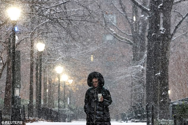
As of 7 a.m., Central Park had accumulated 1.2 inches of snow, LaGuardia Airport accumulated 0.6 inches, and John F. Kennedy Airport accumulated 0.4 inches.
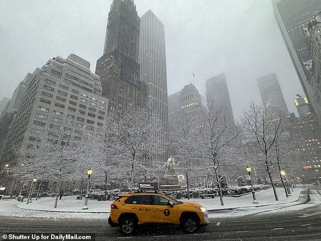
The Big Apple remains under a travel warning and people are advised to avoid traveling, but if necessary, use public transportation.
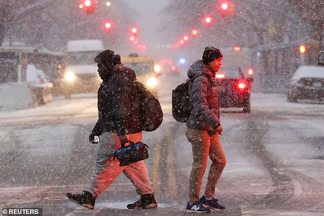
The National Weather Service predicts the storm will move quickly and intensify rapidly as it passes south of Long Island.
“It’s going to be a tough ride tomorrow morning,” Christina Speciale, a meteorologist with the weather service in Albany, New York, said Monday. “This is a rapidly moving storm, so all should be clear by tomorrow afternoon.”
The National Weather Service predicts the storm will move quickly and intensify rapidly as it passes south of Long Island.
They predict a five to six hour period Tuesday morning where snowfall rates could reach one to two inches per hour.
According to AccuWeather, the large amount of snow could cause dangerous road conditions and poor visibility that could prevent road plowing.
Adams said on X: ‘@NYCSanitation plows and spreaders are on the streets. Stay off roads unless absolutely necessary. If you must travel, use public transport.’
Drivers for ride-sharing platforms Uber, Lyft and food delivery app DoorDash are expected to strike for fair pay across the country on Wednesday.

