<!–
<!–
<!– <!–
<!–
<!–
<!–
A cyclone is bearing down on the upper end, with territories being warned to prepare for damaging winds, heavy rainfall and potential flooding over the next 48 hours.
Tropical Cyclone Megan formed over the Gulf of Carpentaria east of Groote Eylandt on Saturday afternoon and was expected to move southeast, the Bureau of Meteorology said.
It has officially become the fifth named weather system in Australian waters this season after successive cyclones battered the north Queensland and NT coasts.
Gusts of 120 km/h were recorded in the center of the Category 1 system on Saturday.
The bureau expected the cyclone to strengthen to a category two system overnight and into a category three by Sunday evening.
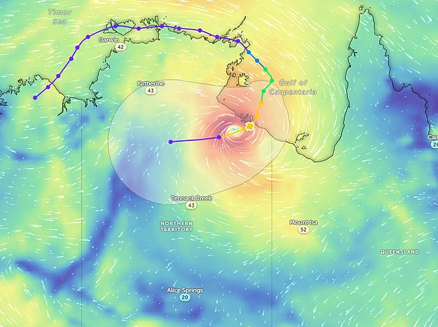
Tropical Cyclone Megan was officially declared on Saturday evening (pictured is where the system is expected to make landfall on Monday)
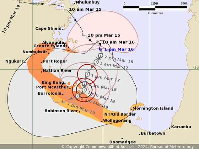

The system will be a category three when it makes landfall and trigger severe weather warnings
The Alyangula community on Groote Eylandt and people across the Queensland border, including in the town of Borroloola but not Ngukkur, have been urged to prepare their properties and adopt household plans.
Sustained winds in excess of 125km/h could intensify on Sunday and could exacerbate the effects of heavy rainfall already expected in the Top End over the weekend.
The heaviest falls are expected in coastal and island areas on Saturday before reaching further inland into the Carpentaria district on Sunday.
“While it (the cyclone) will most likely cross the coast on Monday, it will be slow moving, making both the time of landfall and the intensity at that point quite uncertain,” the bureau said.
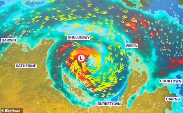

Widespread heavy rainfall, strong winds and flash flooding are a risk to communities in the Gulf of Carpentaria
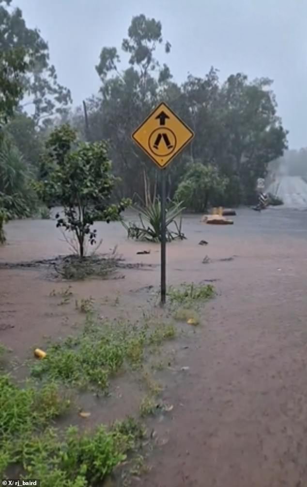

Heavy rain has already cut off some roads in the region on Saturday afternoon
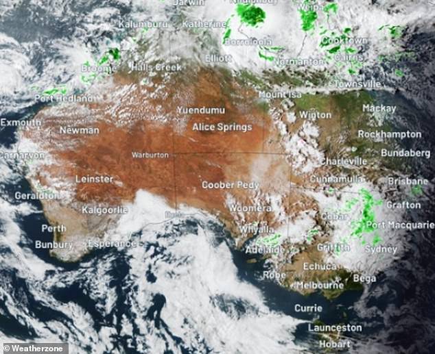

A satellite image of Tropical Cyclone Megan on Saturday. It is expected to intensify over the next 48 hours
The weather event will then weaken as it makes landfall and is likely to move west through the NT as a tropical low, bringing strong winds and rain.
A severe weather warning for heavy rainfall has also been issued for people in parts of the Arnhem district, north of the cyclone’s watch zone.
It is the second tropical cyclone to hit the region in as many months.
Last month, ex-tropical cyclone Lincoln crossed the territory’s coast in the southern Gulf of Carpentaria as a Category 1, bringing high winds and heavy rainfall.
It triggered flood watches and warnings in north-west Queensland, the NT and northern WA before moving offshore.
