Colorado, famous for its high-end ski havens and Rocky Mountain National Park, has a lot to offer tourists.
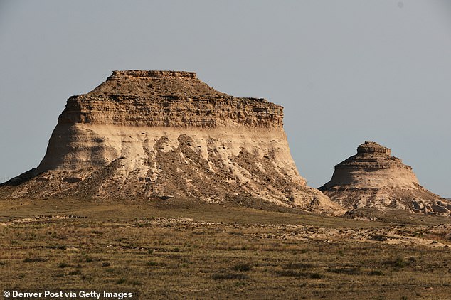
But those looking for a hidden gem unspoiled by the crowds should look no further than Pawnee Buttes, a pair of 300-foot-tall rock formations on the grassy plains of northern Colorado.
The striking hills are named for the Pawnee, one of four Native American tribes that hunted bison in the area. already 12,000 years ago.
American settlers would settle here later during the 19th century, leaving behind the ghost town of Keota.
The town, now little more than a handful of rotting structures and a water tower, is a 22-minute drive from the foothills, making it a worthy stop on a visit to Pawnee National Grassland.
Pawnee Buttes on Thursday, October 10, 2024. The 300-foot-tall rock formations are located in the northeast corner of Weld County, Colorado, approximately 13 miles south of the Wyoming border.
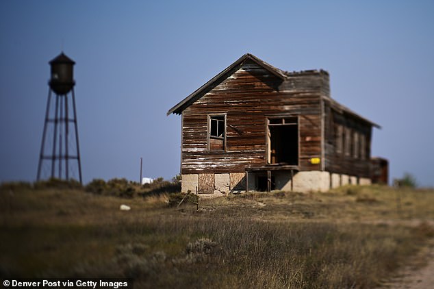
The ghost town of Keota, once home to American settlers, is about a 20-minute drive from the hills.
In the historical novel ‘Centennial,’ cataloging the beauties of northern Colorado, bestselling author James Michener said it probably took 200,000 years for the hills to form.
“These two sentinels of the plains were extraordinary,” he wrote in the 1974 book. “Visible for miles in every direction, they guarded a shadowy and silent empire.”
Michener also offered impressive descriptions of the formations, which he called by the fictitious name ‘Rattlesnake Buttes’.
“From the hills at dawn, a man could look east and see a hundred miles of unbroken horizons, prairie after prairie stretching beyond human imagination,” he wrote. “The colors were magnificent, but the uninitiated could look at them and not see them, for they were soft grays, delicate browns, and blue purples.”
Today, the majesty of the hills remains equally evident.
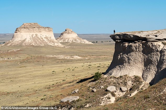
A person looks out over the Pawnee Buttes, which are made of crumbling sandstone.
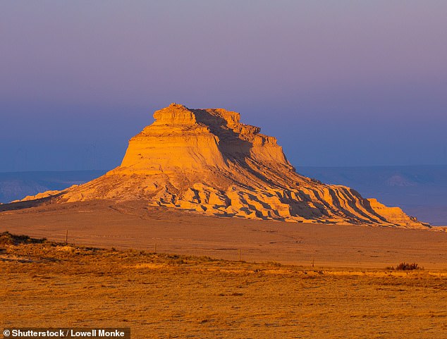
One of the hills is seen just before sunset.
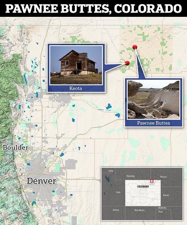
A map shows where the Pawnee Butts are located in Colorado, about a 115-mile drive from Denver.
Visitors can enjoy a panoramic view of them from the Pawnee Buttes trailhead. Or they can hike about two miles up a nearby escarpment for an even better view.
It is best to visit the Pawnee National Grasslands, managed by the Arapaho and Roosevelt National Forests, during the fall and spring to avoid oppressive heat. Temperatures during the summer can exceed 100 degrees Fahrenheit.
Just 100 years ago, the prairie didn’t have as much grass thanks to a series of catastrophic dust storms that wreaked havoc on the agricultural potential of much of the Midwest.
This era became known as the Dust Bowl and coincided with the Great Depression of the 1930s. This meant that fleeing farmers fared little better in the cities of California and other western states.
The Dust Bowl storms were precisely the reason Keota is now a ghost town.
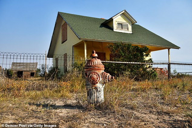
Pictured: A home in Keota that’s in incredibly good condition, complete with a relic of a fire hydrant.
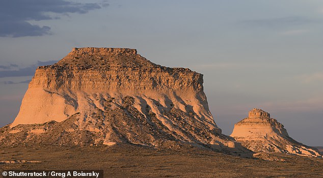
The striking hills are named for the Pawnee, one of four Native American tribes that hunted bison in the area 12,000 years ago.
It was once a prosperous place for settlers who were entitled to a 160-acre plot of government land under the Farm Act of 1862.
Among the stipulations required to obtain the land: build a home and farm on it.
The law, passed while Abraham Lincoln was president, is credited with pushing Americans westward.
Keota, although never reaching a population of more than 150 people, was a crucial city for the area’s 1,250 farms.
It was also situated on a railroad line that ran between Sterling, Colorado and Cheyenne, the capital of Wyoming, allowing farmers to travel outside the area.
According to Vernon Koehler, who has worked in the rangelands for 15 years as a land and mineral program manager, there were many businesses in Keota.
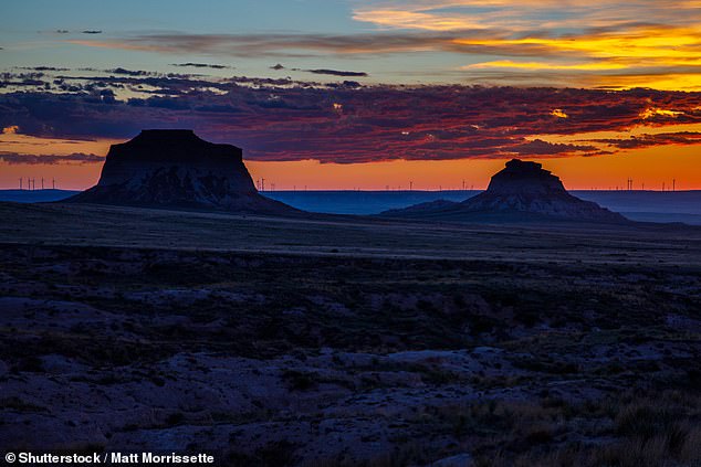
The sun rises in Pawnee Buttes
“There were car dealerships, bookstores, grocers, butchers, bakers,” he said. Denver Post.
‘On the other side of the meadow there were all these people occupying their homes. “A mile in every direction there would be a house,” Koehler continued. ‘There were thousands of people trying to profit from it on their farms.
“There would have been daily, or almost daily, trains between Sterling and Cheyenne. Along that route, there were small towns scattered along it approximately every 10 to 15 miles.’
One of them would have included Sligo, another abandoned community 10 miles north of Keota.
All that remains of the city is a cemetery, where there are still tombstones.
“If you go around and look at the dates, you realize that the first people buried here were children who died in the Spanish flu pandemic” from 1918 to 1920, Koehler told the Post. “They were one or two years old.”
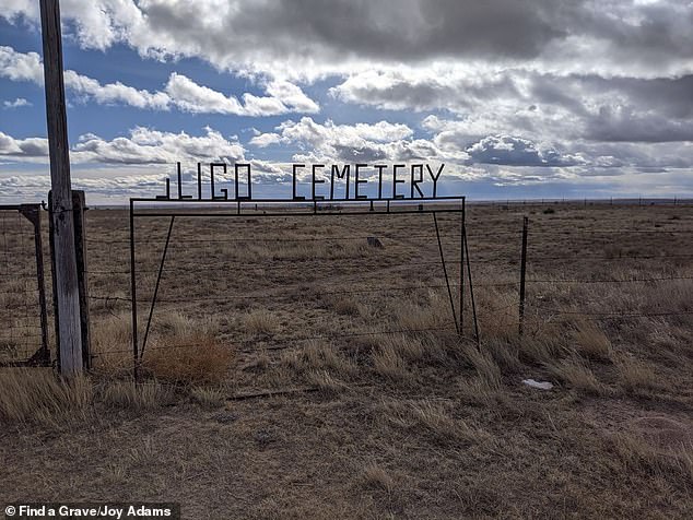
Sligo Cemetery in northern Colorado. Many of the graves were of children who probably died from the Spanish flu in the early 20th century.
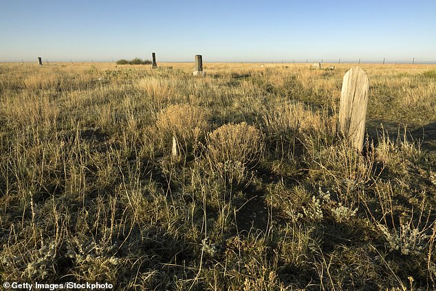
The tombstones sparsely populate the cemetery
The US Forest Service instructs hikers not to disturb hawks, eagles and falcons from March 1 to June 30, when they nest on the cliffs.
Thrill-seekers are advised not to climb the Pawnee Buttes, as they are made of crumbling sandstone.
The prairie is also perfect for bird watchers, who can take advantage of a self-guided bird watching tour.
“The best time to visit is in May and June, when migrants (birds) pass through and resident breeders arrive at their nesting areas,” according to the Cornell Lab of Ornithology.
‘In late spring, the birds are bustling at the height of the nesting season and the grasslands are in full bloom. With up to 301 species of birds inhabiting these windswept plains, Pawnee is a birdwatcher’s paradise.
But above all, the grasslands are a peaceful place to contemplate history and, at the same time, glimpse the environment in which past generations lived.
“Ideally, people will come here and have a feeling similar to walking into a church in Paris built in the 1100s,” Koehler said. ‘There have been humans out here doing things for so long. “They just didn’t leave that kind of physical monument.”


