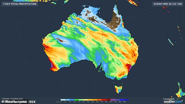
Most of the country will be drenched this week as a series of cold fronts move across Australia.
A band of rain over Western Australia will head east over the weekend, bringing wet weather to 80 per cent of the country.
The Bureau of Meteorology’s Christie Johnson said rain will begin heading east from Wednesday.
‘We may see rain in parts of inland WA and even at the end of the day, spreading to western parts of South Australia,” he said.
‘As we move towards Thursday, that system continues its path across the country with a band of cloud stretching from the Kimberley across the Northern Territory to southern Australia and, by day’s end, the western parts of New South Wales, Victoria and Tasmania.
Johnson warned that strong winds generated by the system could affect western and southern Tasmania and the alpine regions of Victoria and New South Wales.
“However, on Friday, that system tends to track eastwards with rainfall contracting mainly towards northeastern New South Wales,” he said.
weather zone Meteorologist Ben Domensino explained that the wet conditions are due to a “high pressure pattern that has dominated Australia’s weather for the past two months and has finally broken down.”
All Australian states and territories will see rain (forecast pictured) in the coming days due to a series of cold fronts.
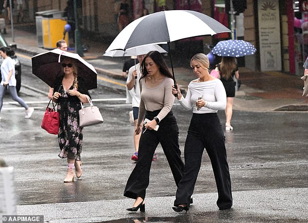
The rain band is expected to begin heading east from Western Australia from Thursday.
“This week’s wet and stormy weather will primarily affect WA from Monday to Wednesday, before spreading across central and southern Australia on Thursday, and then eastern Australia from Friday into the weekend,” he said.
‘A second rain-bearing system could also bring subsequent rain to parts of WA from Saturday or Sunday.
“The two systems combined should soak 70 to 80 per cent of Australia, and some parts of the country could see rain every day this week.”
Sydney
Sydney is expected to experience a sunny Wednesday with a high of 22C before partial clouds lift on Thursday.
Those clouds are expected to turn to rain on Friday with a high chance of showers, most likely in the afternoon and evening.
Rain is forecast to increase on Saturday with a very high chance of rain, likely in the afternoon and evening.
The rain is expected to continue until Monday.
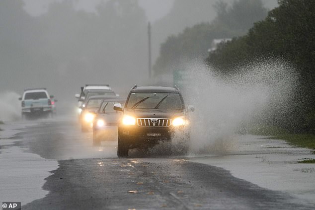
Up to 80 percent of the country could be drenched this week (file image)
Melbourne
Sunny skies are expected to combine with very windy conditions in Melbourne on Wednesday with wind speeds reaching 45km/h.
Thursday morning will also be sunny before rain falls over the city in the late afternoon and evening.
There is a high chance of showers in the Dandenongs on Friday and a high chance elsewhere with wind speeds reaching 30km/h.
Rain is expected to ease from Saturday with a medium chance of showers, most likely in the morning and afternoon, followed by partly cloudy conditions on Sunday.
brisbane
Brisbane is expected to have a sunny start to the day on Wednesday before clouds form in the afternoon with a medium chance of showers.
There is a high chance of seeing showers on Thursday and Friday before further showers occur on Saturday when up to 20mm is expected to fall.
Maximum temperatures in the city are expected to remain around 20 degrees Celsius.
Perth
Up to 25mm of rain is expected to fall over Perth on Wednesday.
There is a chance of a thunderstorm over the city in the morning followed by a very high chance of showers, becoming less likely this afternoon.
The storm could possibly be severe with damaging winds and small hail in the morning and early afternoon.
There is a very high chance of continued showers through Thursday and Friday ahead of a possible thunderstorm Saturday afternoon.
Rain is expected to continue into next week with another storm possible on Sunday.
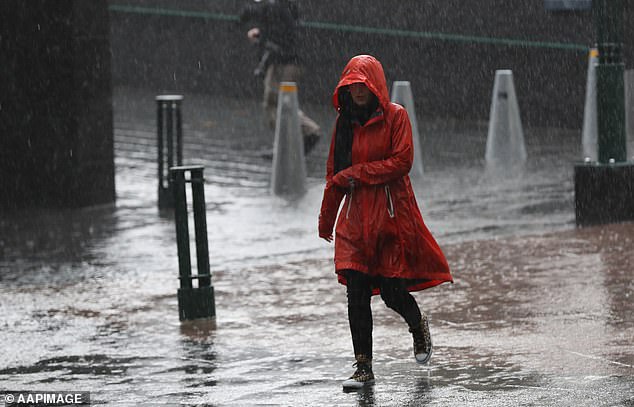
Sydney is expected to experience rain from Friday into next week with the heaviest rain expected to fall on Saturday.
Adelaide
Mostly sunny skies over Adelaide on Wednesday are expected to turn to rain on Thursday.
The city has a very high chance of rain, likely in the morning and afternoon, on Thursday, with winds increasing to 45 km/h in the evening.
Showers have a very high chance of continuing on Friday and a medium chance on Saturday.
The city will finally see a respite from the rain on Sunday with sunny skies and the possibility of morning frost in the northern suburbs.
hobart
Clouds over Hobart on Wednesday have a medium chance of turning to showers on Thursday night.
Friday looks to be the city’s wettest day with an average chance of rain and winds reaching 45 km/h.
Saturday will be partly cloudy followed by a mostly sunny Sunday.
Canberra
Wednesday is expected to be the last sunny day of the week in Canberra, as partly cloudy conditions have a medium chance of turning to showers on Thursday afternoon.
The chance of rain on Friday is very high, probably in the morning and afternoon.
There is a slight chance of showers in the afternoon and evening on Saturday, followed by a medium chance of showers on Sunday.
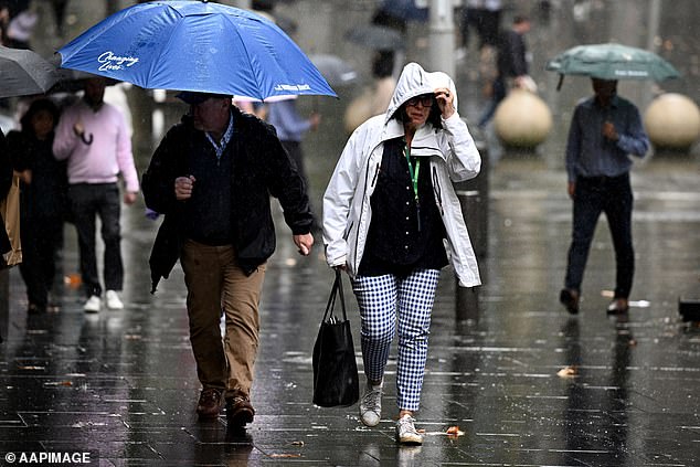
Mostly sunny skies over Adelaide on Wednesday are expected to turn to rain on Thursday.
Darwin
Mostly sunny skies over Darwin on Wednesday will become cloudier from Thursday ahead of clear conditions on Saturday and Sunday.
The maximum temperatures in the city are expected to remain around 30 degrees Celsius and the minimum temperatures around 20 degrees Celsius.


