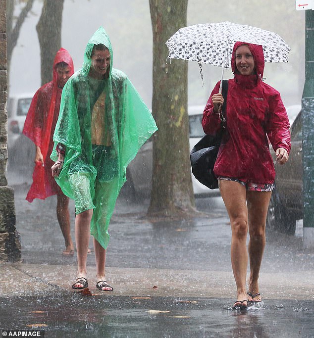
Cooler temperatures are finally on the way, good news for Australians after a series of hot and sticky heatwaves this week.
Weatherzone meteorologist Quincy Tut told Daily Mail Australia on Thursday that “significant” storms were forecast for the southeastern states this weekend.
“The most significant storms will be seen in northeastern New South Wales, southern Queensland and inland into the Northern Territory,” he said.
“We are seeing a broad inland trough and associated cloud band extending from northwest Australia to the southeast.
‘That (system) is generating a lot of humidity and instability and that is what is going to start causing these storms.
“Adelaide, Melbourne and Sydney will have colder winds from the southwest to the south, with the trough moving eastwards.”
The trough and associated cloud band will cause temperatures to plummet, with Bankstown, in Sydney’s west, experiencing a drop of five to six degrees on Friday.
Canberra could see temperatures drop between six and eight degrees on Sunday.
Australia’s southeastern states will get a welcome respite from sticky heatwave conditions when “significant storms” hit the area this weekend (file image)
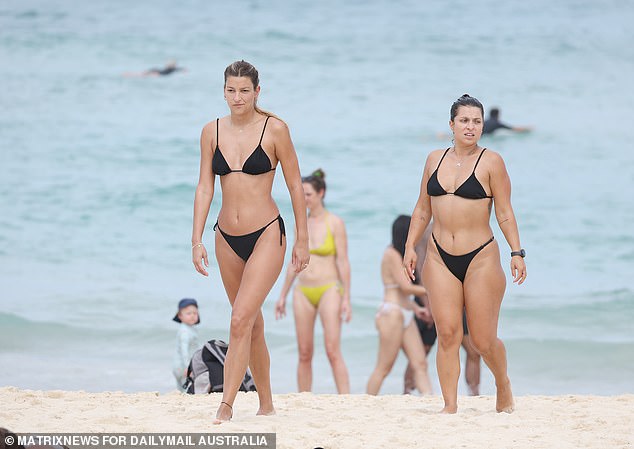
But until there is a respite, much of Australia will continue to burn under extreme heatwave conditions caused by a large mass of hot air (pictured, beachgoers at Bondi Beach).
But until there is a respite, much of Australia will continue to burn under extreme heatwave conditions caused by a large mass of hot air.
A heatwave warning is in place for much of Queensland with temperatures topping 40C and bushfires forcing hundreds of people to flee their homes.
Mount Isa, in the Gulf state, recorded four consecutive days above 40C this week, including 41.5C on Tuesday.
Longreach in the center of the state hit 41.6C on Tuesday, while Richmond Airport hit a whopping 42.8C on the same day.
Last night Sydney recorded its warmest November night in four years.
Tut said large swathes of inland Queensland, the northeast and New South Wales, could expect or experience heatwave conditions.
brisbane
Friday: Shower or two. Possible storm. Minimum 24 Maximum 34
Saturday: Partly cloudy. Minimum 22 Maximum 33
Sunday: Possible shower. Min 23 Max 31
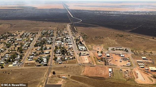
Firefighters battled a fire in Dirranbandi, near the New South Wales-Queensland border, on Tuesday.
Sydney
Friday: Sunny. Minimum 17 Maximum 30
Saturday: Shower or two. Minimum 17 Maximum 23
Sunday: Shower or two. Minimum 18 Maximum 25
Melbourne
Friday: Partly cloudy. Minimum 13 Maximum 20
Saturday: Partly cloudy. Minimum 10 Maximum 21
Sunday: Partly cloudy. Minimum 11 Maximum 20
Canberra
Friday: Making wind. Sunny. Minimum 8 Maximum 24
Saturday: Mostly sunny. Minimum 7 Maximum 25
Sunday: Partly cloudy. Minimum 8 Maximum 26
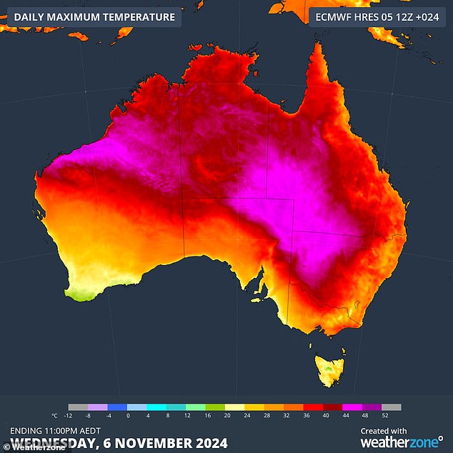
A heatwave warning is in place for much of Queensland with temperatures topping 40C and bushfires forcing hundreds of people to flee their homes.
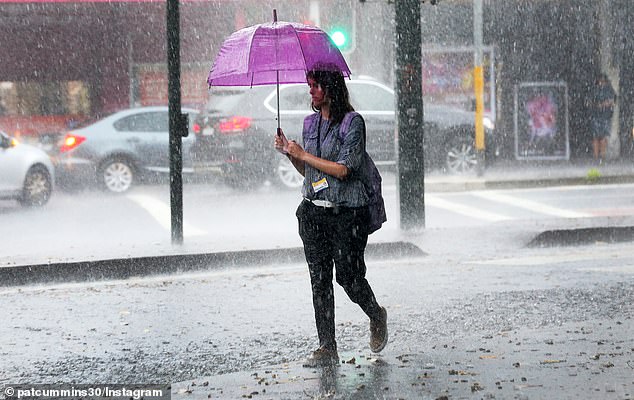
Temperatures in Sydney could drop by five to six degrees on Friday and Canberra could see a drop of six to eight degrees on Sunday.
hobart
Friday: Shower or two. Making wind. Minimum 10 Maximum 17
Saturday: Cloudy. Minimum 9 Maximum 18
Sunday: Partly cloudy. Minimum 9 Maximum 18
Adelaide
Friday: Morning shower or two. Minimum 13 Maximum 21
Saturday: Partly cloudy. Minimum 9 Maximum 23
Sunday: Partly cloudy. Minimum 11 Maximum 27
Perth
Friday: Shower or two. Minimum 12 Maximum 26
Saturday: Partly cloudy. Minimum 13 Maximum 27
Sunday: Mostly sunny. Minimum 13 Maximum 26
Darwin
Friday: Partly cloudy. Minimum 27 Maximum 35
Saturday: Partly cloudy. Minimum 27 Maximum 35
Sunday: Mostly sunny. Minimum 26 Maximum 35


