Two German tourists are lucky to be alive after a wrong Google Maps address sent them to a remote Queensland national park.
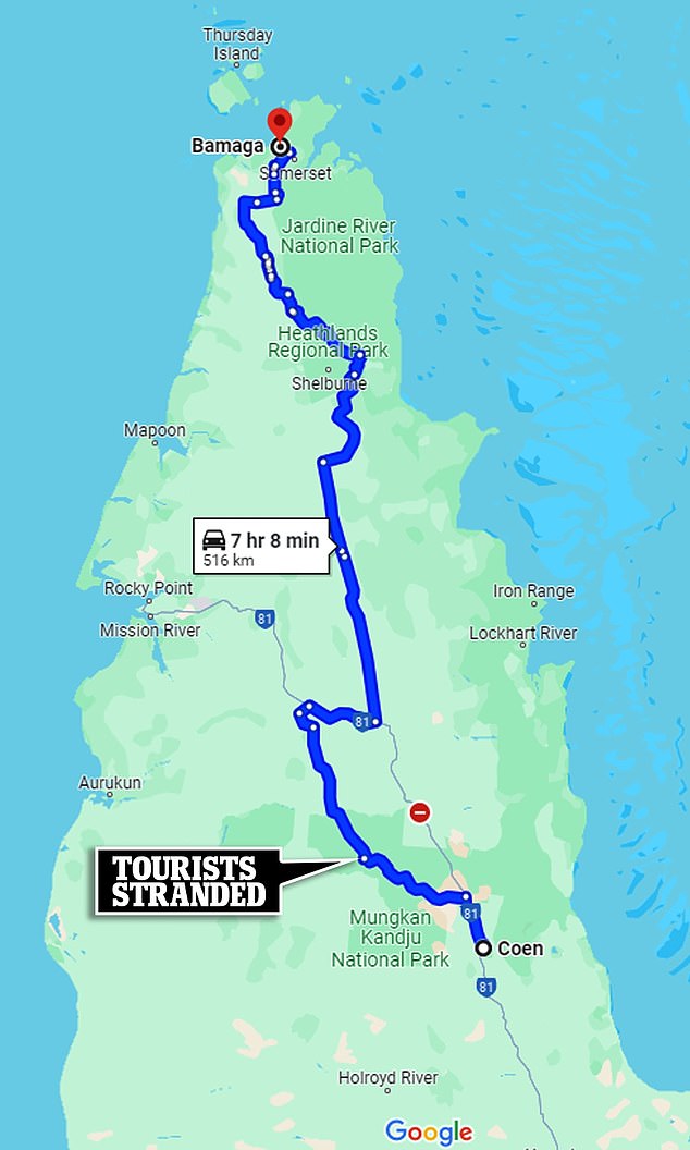
Philipp Maier and Marcel Schoene were driving from Cairns to Bamaga in northern Queensland in early February.
Google Maps directed the couple to follow an old dirt road through Oyala Thumotang National Park, which didn’t worry them at the time.
“We thought about doing it because maybe the main road is closed because of the river flooding,” said Mr. Maier.
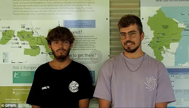
German tourists Philipp Maier (left) and Marcel Schoene (right) were forced to walk 60km when their car got stuck in far north Queensland after following Google Map directions.

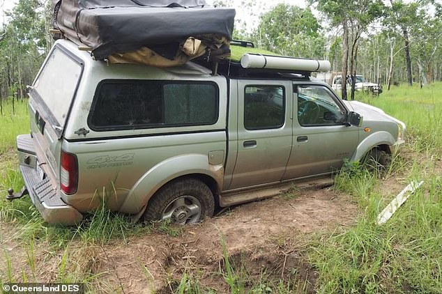
The couple’s four-wheel drive Nissan Navara (pictured) got stuck after they followed directions to enter Oyala Thumotang National Park via a dirt road, known as Langi Track, which leads to the former Archers Crossing.
But after almost 60 kilometers of driving on the dirt track, the couple encountered a problem when their Nissan Navara four-wheel drive ute got stuck in the mud.
‘Where we are stuck, it seems very dry. The surface was dry but below the surface it was very wet and muddy. It’s almost impossible to get out of there,” said Mr. Maier.
With no phone or internet signal available, the couple had to decide what to do, so they started walking.
At first, the men walked towards Archer River, as it seemed closer to getting help.
They attempted to cross the river using a fallen tree, but soon realized it was too swollen from recent cyclones and heavy rain.
Schoene said they slept there under the trees, under shelter that provided little protection from the elements.
The couple then returned with their 12kg backpacks to walk to nearby Coen.
They walked from dawn until noon, when the scorching heat was at its peak.
The men would begin walking again from 4 p.m. until midnight.
“It’s very difficult to get out of there,” Mr. Schoene said.
A week after being trapped in the mud, they arrived in Coen and told the authorities what had happened.

The couple camped near their stranded car for about a week before attempting to walk to Archer River and then to Coen, a hike that took several days.
Queensland Parks and Wildlife Service ranger Roger James said it was fortunate the couple were alive and well.
“The rangers helped the local mechanic recover the tourist’s car, which is much better than helping the emergency services search for bodies,” he said.
James said this is not the first incident of Google Maps taking people off-route into national parks.
“People should not rely on Google Maps when traveling to remote regions of Queensland and need to follow signs, use official maps or other navigation devices,” he said.
The men were grateful to have survived the experience and will surely question Google Maps on their next adventure.
“It was a good experience, but a tough experience that I wouldn’t want to go through again,” Mr. Schoene said.

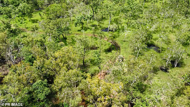
The pair walked for about 22 hours, a trek that lasted several days, with backpacks weighing around 12kg each and used a drone to check nearby roads (pictured).

