Nearly 65 million Americans are under a weather alert as a winter storm rapidly sweeps across the country.
Much of the East Coast woke up under a blanket of snow Saturday morning, and Philadelphia was bracing for its biggest dump in two years.
The National Weather Service warned that up to an inch per hour could fall in the Pennsylvania city, with totals reaching up to six inches by lunchtime.
Warnings were also issued for New Jersey and New York, where snowfall had already exceeded expectations by up to six inches in some areas.
Drivers have been warned of difficult conditions, while temperatures are expected to hover around freezing when wind chill is taken into account.
Nearly 65 million Americans are under a weather alert as a winter storm hits the country.
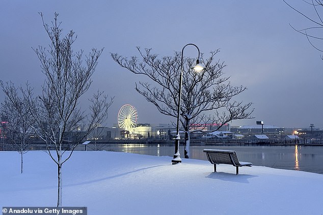
Much of the East Coast woke up to snowfall Saturday morning, with accumulations seen from the Ohio Valley to the Jersey Shore (pictured).
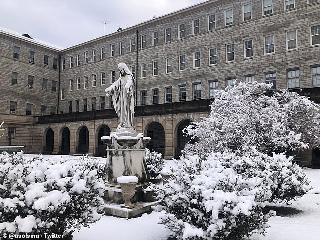
Philadelphia (pictured) will receive more snow than in two years, with up to six inches forecast

Louie thw dog plays ball in Rockwood Park after a couple inches of snow fell overnight in Wilmington, Delaware
At the same time, a second atmospheric river will reach the west coast and hit California with even more rain.
The weather system is expected to last through Sunday, drenching the Golden State with several inches of precipitation and raising the possibility of even more flooding and landslides.
In the mountains, snowfall is likely to be measured in feet, continuing the active weather pattern seen in the region in recent weeks.
Flood watches have been issued for several areas, including San Francisco, Sacramento, Fresno and Los Angeles.
It comes after many parts of California were inundated by catastrophic flash floods last week, which swept away homes and rescued people from submerged vehicles.
The Pacific storm was the second ‘Pineapple Express’ weather system to hit the West Coast in less than a week, dumping torrential rain on Southern California.
There were more than 120 landslides and the brutal weather system claimed the lives of at least three people.
All three were killed by wind-blown trees: David Gomes, 82, in Yuba City, the former gold rush town, and Robert Brainard II, 45, in Boulder Creek in the coastal Santa Cruz Mountains. .
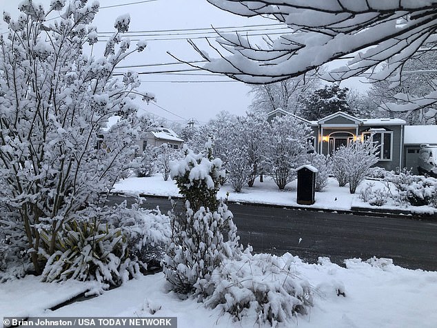
A blanket of snow clings to the trees in Neptune Township, New Jersey
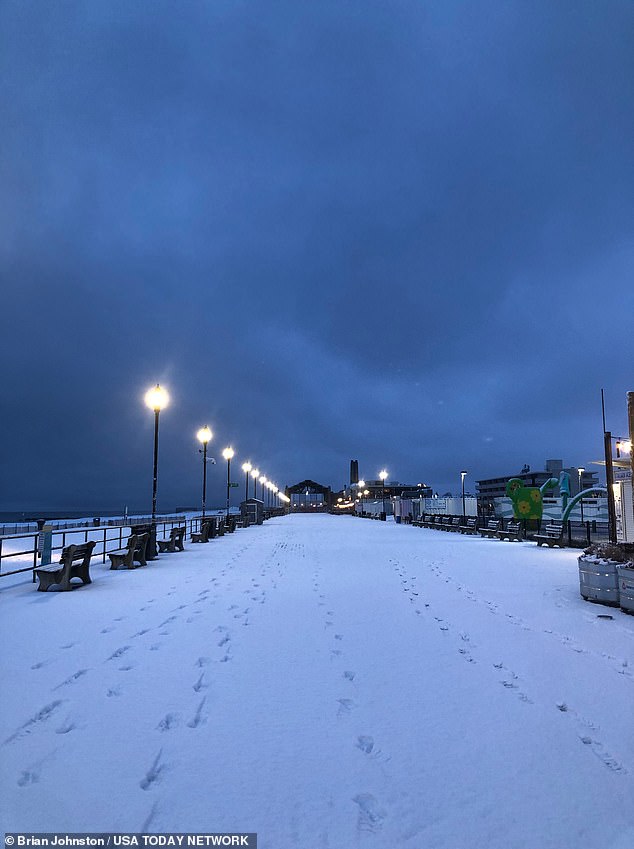
Drivers have been warned of difficult conditions, while temperatures are expected to hover around freezing when wind chill is taken into account.

Amy Nakamoto-Brown and her dog Bogey enjoy a morning walk in Rockwood Park, Delaware.
Another man, Chad Ensey, also died from a falling tree in Carmichael, just east of Sacramento. He was 41 years old.
In one of the most dramatic rescues, a Los Angeles Fire Department helicopter flew over a raging river to save a man who had ventured into the torrent to rescue his dog.
The man was taken to a safe location and flown to a hospital. The dog was also able to swim to safety.
The normally calm canal roared to life when the rains fell and nearly overflowed. More than a foot of rain fell in just 24 hours and the storm is not expected to subside until later in the week.
There were fears of a repeat of the deadly scenes, as the NWS warned that up to eight inches of rain could fall on terrain that has already been saturated in recent weeks.
Californians have been urged to avoid low-lying areas during downpours.
Forecasters also issued a winter storm warning from 4 p.m. Sunday to 10 a.m. Wednesday, predicting gusts of up to 55 mph and the possibility of power outages.
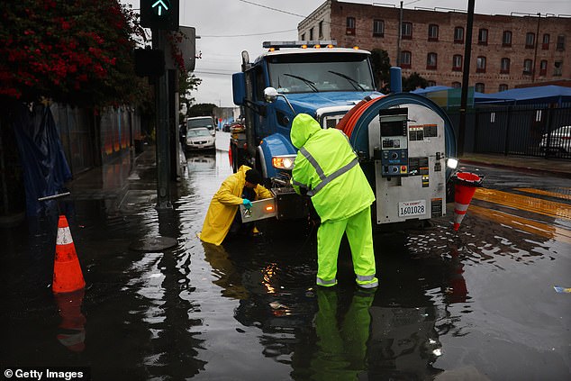
A second atmospheric river will reach the west coast and hit California with even more rain.

It comes after many parts of California were inundated by catastrophic flash floods last week, which swept away homes and saw people rescued from submerged vehicles.
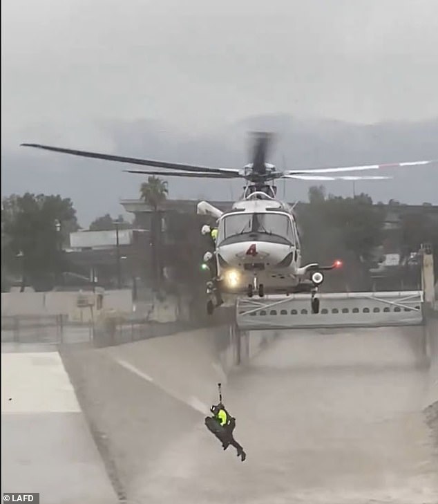
In a dramatic river rescue, a Los Angeles Fire Department helicopter crew pulled a man from the turbulent waters of the Los Angeles River after his dog fell.

Firefighters were able to rescue both the dog and the man, who were saved on drier ground. Forecasters are predicting up to eight inches of rain in this latest weather system, which will hit saturated lands, prompting fears of more landslides.
Traveling can be very difficult or impossible. He “Hazardous conditions could impact holiday weekend travel with snow-covered roads, reduced visibility at times, chain checks and possible road closures,” the warning states.
‘If you must travel, keep an extra flashlight, food and water in your vehicle in case of an emergency. Reduce speed and use caution when traveling.
At higher elevations, snow accumulations of 4 to 8 inches have been forecast above 6,000 feet and up to a foot above 8,000 feet. Heavier snowfall is expected Sunday night and Monday.

