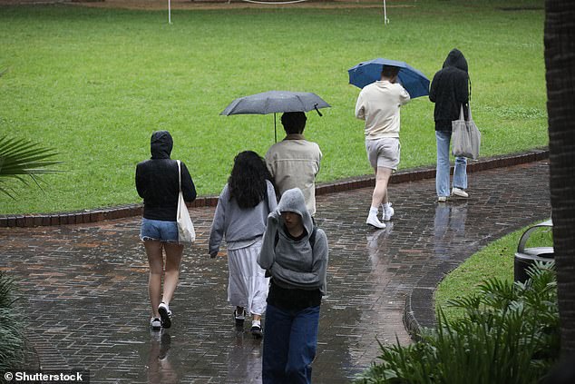
Australia’s east coast is bracing for a devastating weekend, with Sydney set to be hit with more than a month’s worth of rain in just 48 hours.
The port city will be hit by more than 100mm of rain between Friday and Sunday and the miserable conditions are expected to last for a fortnight.
Weatherzone forecasters said the washout occurred after a prolonged period of rain generated by a trough off the New South Wales coast and began on Tuesday.
Rain is forecast every day from now until the weekend, with the heaviest falls expected in New South Wales between Saturday and next Tuesday.
An upper level low approaching the state will cause widespread falls of 60mm to 120mm on the central and northern coasts of New South Wales and Sydney.
Isolated falls could exceed 200 mm in some areas.
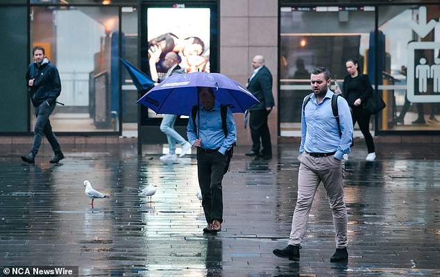
Australia’s east coast is bracing for weekend flooding and Sydney (pictured on Wednesday) will be hit with more than a month’s worth of rain in just 48 hours.

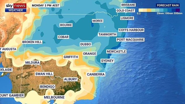
More than 100mm of rain will fall on Sydney between Friday and Sunday (pictured, rain forecast for the east coast next Monday)
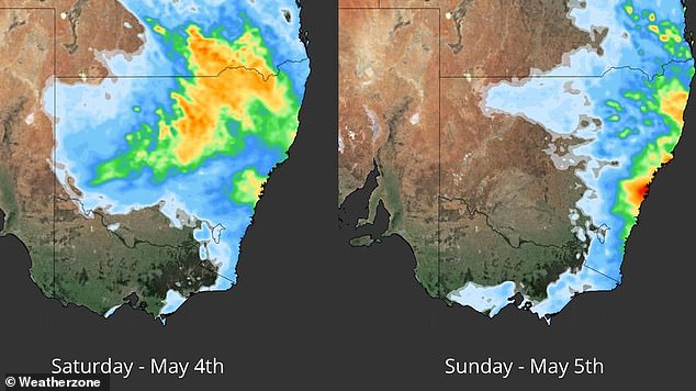
Weatherzone said the highest daily totals are expected in central and northeastern New South Wales and southern Queensland on Saturday.
Some high rainfall totals are also forecast for western New South Wales.
On Sunday and Monday, heavy rain will be concentrated in eastern New South Wales and southeastern Queensland, with the heaviest rainfall along the central and northern coast of New South Wales.
Falls between 20mm and 50mm are possible in Sydney on Saturday and Sunday, with weekly totals exceeding 150mm and the Central Coast.
Up to 30mm of rain is forecast for Monday and 20mm on Tuesday.
Parts of New South Wales and southern Queensland are expected to flood during this period due to wet days leading up to the deluge.
Significant rainfall totals have already been recorded across New South Wales.
Nord’s Wharf Oval in New South Wales’ Hunter Valley recorded 93mm of rain in the 24 hours to 9am on Wednesday.
Cooranbong, a town on New South Wales’ Lake Macquarie, recorded its wettest day in 13 years with a fall of 52.4mm over the same period.

Parts of New South Wales and southern Queensland are expected to flood between Saturday and next Tuesday due to wet days that have preceded the deluge.

Weatherzone said the highest daily totals are expected in central and northeastern New South Wales and southern Queensland on Saturday (pictured, rain forecast for this weekend).
Norah Head, on the New South Wales central coast, has been hit with almost 100mm in the 48 hours to Thursday morning.
Less than 30 kilometers away, Gosford recorded 70mm in the same period.
Thursday is forecast to be a drier day in Sydney with 3mm of rain before rainfall totals rise to 25mm on Friday and 20mm to 50mm over the weekend.
More to come.


