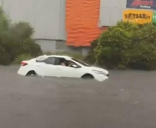
Drivers were left stranded in their cars after a “supercell” storm turned roads into rivers, while thousands of people were plunged into darkness.
Several states faced severe storms, golf ball-sized hail and flash flooding on Friday.
Images shared on social media showed cars submerged in deep, fast-moving water outside a shopping center in Frankston, in Melbourne’s southeast.
Geelong suffered its worst rainfall since November 2011, with 67mm falling on Friday.
The Victorian State Emergency Service received almost 600 calls for help amid the deluge.
Meanwhile, many parts of South Australia were hit by damaging winds that destroyed transmission lines.
More than 1,500 customers in South Australia remain without power, while 800 customers also experienced power outages in Victoria on Saturday.
Images shared on social media showed cars submerged in deep, fast-moving water outside a shopping center in Frankston, in Melbourne’s southeast.
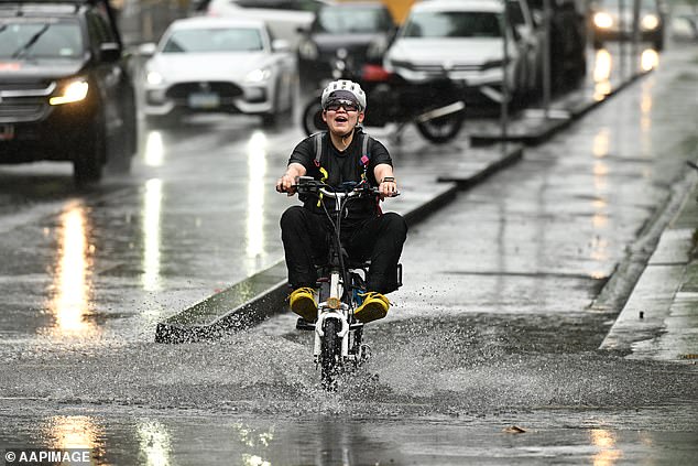
Geelong suffered its worst rainfall since November 2011, with 67mm falling on Friday.
Power outages have also been reported in northern New South Wales, with more than 660 customers affected.
It comes after several states battled severe storms on Friday.
But Bureau of Meteorology senior meteorologist Angus Hines said the worst of the weather was probably over.
“The risk of storms has disappeared in the most affected areas as of Friday,” he said.
“There is likely to be some showers and moderate winds in parts of Victoria and the New South Wales east coast, clearing in most places on Saturday afternoon.”
Colder conditions are forecast for the rest of the weekend, while a dangerous coastal warning remains in place for most of New South Wales.
Meanwhile, there is a risk of severe thunderstorms for parts of Wide Bay and Burnett and parts of the southern Central Highlands of Queensland on Saturday.
This follows intense storm activity on Friday across the country.
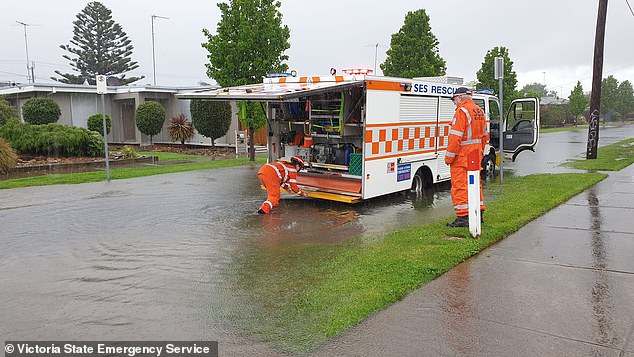
The Victorian State Emergency Service received almost 600 calls for help amid the deluge.
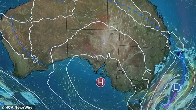
The ‘supercell’ storm brought severe thunderstorms, golf ball-sized hail and flash flooding to many parts of the Southeast on Friday.
“After a week of thunderstorms and severe storms occurring here and there around Australia, storm activity really peaked on Thursday and Friday with a low pressure system crossing the southeast of the country on Friday,” Mr. Hines said.
‘This led to widespread severe thunderstorms affecting much of Victoria and New South Wales.
“This has been gradually weakening and appearing away from the country during the night hours.”
Geelong recorded 69mm of rain on Friday, including 50mm in 45 minutes as a severe thunderstorm moved directly overhead.
Hines said some parts of Geelong reported flash flooding.
“Flash flooding occurred in areas where storms caused heavy rain,” he said.
‘Flooding affected streets and properties, more specifically in Geelong and Frankston, in the south-east of Melbourne.
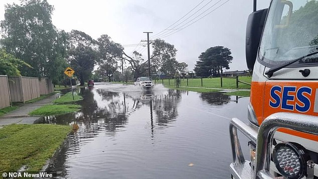
Thousands of homes in Victoria and South Australia remain without power after a massive storm devastated both states.
“In most areas, rainfall was not widespread enough to cause significant rises in river levels or river flooding.”
Melbourne reported 32mm since 9am on Friday, while the airport recorded 37mm.
Frankston received 48mm of rain, while Springvale received 45mm.
In northeast Victoria, Mount Hotham recorded 68mm since 9am on Friday.
“Parts of northeastern Tasmania also saw significant rainfall on Friday, even without the presence of severe storms there,” Mr Hines said.
The largest totals in Tasmania were 60mm at Scottsdale and 52mm at Mt Arthur.
In New South Wales, the heaviest falls were in the Snowy Mountains and western slopes and plains, with 78mm recorded at Thredbo, 62mm and Upper Goobarragandra.
Minor flood warnings remain in place for the Lower North Esk River in northeast Tasmania and the Queen River in northeast Victoria.

